Ensuring good and efficient geospatial data management is crucial for successful training, planning and operations in the defence sector. The ability of NATO members to exchange geo-information in a secure and standards compliant way is key to successful and timely collaboration and building cross-national operational capability.
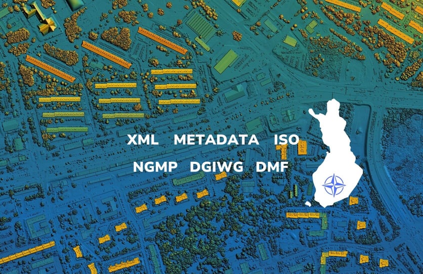
Spatineo continued successful collaboration with the Finnish Defence Forces in a recent project focused on the NATO and ISO compliant metadata management. In the project Spatineo created an extensive report of the metadata elements defined in the Defence Geospatial Information Working Group (DGIWG) and NATO Geospatial Metadata Profile (NGMP) international standards. The report included all the metadata elements explained in detail as well as examples of the standards compliant use of those elements. The report also included a list of both mandatory and recommended dataset metadata elements. Machine-readable XML metadata example files were also created to illustrate how the NGMP compliant information can be encoded into ISO 19115-3 compliant, standard metadata exchange format.
During the project Spatineo conducted a proof-of-concept, in which it was tested and clarified to what extent the Esri ArcGIS solutions are capable of reading and producing metadata in NGMP format. In addition, Spatineo created a concept of automated metadata production and presented how metadata descriptions could be generated automatically in both machine-readable and human-readable formats using current technologies.
Project elevated customer’s ability to transition to NGMP compliant metadata management and enhanced Spatineo’s existing ISO standard metadata capabilities with the additional NATO metadata requirements.
The assignment involved handling material classified as "TL IV" (EU Restricted) security level.
Keywords:
Metadata, NGMP, NATO Geospatial Metadata Profile, ArcGIS Pro, FME, Visual Studio, ISO, NATO, DGIWG, DMF, ISO 19115-3
.png?height=200&name=fdf%20Blog%20Featured%20image%20(1).png)
.jpg?width=50&name=Spatineo%20-%20JooWorks%20-%20Henkil%C3%B6kuvat0023%20(1).jpg)